As I've put together sections of this trail I've come to appreciate the benefits of thru-hiking over section hiking. That said I also understand that I wouldn't be having this adventure and completing this trail if section hiking wasn't a viable option. Of the pros and cons I would list on various sides of the decision I don't think I ever would have placed gas supply down as an issue. My plan for this weekend was to drive over to Eastern NC and take on Sneads Ferry to the end of the Neusiok trail. The logistics were going to be a little challenging but seemed doable. The biggest excitement was that the weather was looking perfect! Temperatures would be in the 70's, skies would be clear with no chance of storms and the humidity would only be around 45%. Then came the panic!
Over the weekend and early into the week news spread of the Colonial Pipeline being shutdown as they dealt with a crippling computer hack. Fear of gas shortage spread and panic buying ensued. Over 75% of NC gas stations were seeing shortages as of the middle of the week. Planning to take two cars across the State with three young kids to help shuttle for the weekend trip seemed like a bad idea. If I could better shuttle myself I could handle the search for gas or dreaded wait in line but I didn't wish to put my wife into a situation where they were searching for fuel or sitting in an hour long gas line. So my plans changed. On Friday they announced the start up of the pipeline and everyone had likely bought enough gas for two months but we had a secondary plan to just go and tackle the 60 mile section I was missing from Greensboro to Eno. I would add the Sneads Ferry and Neusiok sections onto the final push for the finish. Oh how I hate that I missed such good weather in Eastern NC though!
*Fun fact that I missed until this crisis is that Colonial pipeline spilled 1.2 million gallons of fuel into NC this past year, did a great job of keeping their head down for that screw up.
Day 40 May 15
Miles: 32.6 (22.3 bike, 10.3 hike)
Weather: Clear skies highs in the 70's
Camping: Red Slide Park stopping point; Hotel with family in Mebane, NC

We headed out from home early this morning on the way to Bryan Park just north of downtown Greensboro, NC. I was starting the day out on bike and would be switching back and forth a few times in the day. The first segment of riding took me along a golf course and some backroads with little traffic. The weather was great as expected. The route eventually leaves the paved roads in favor of a gravel road to the Guildford County Farm. This farm has a prison that used to house a couple hundred prisoners. Here I would make my first switch. The hike here is short, a little over 2 miles I believe. While I started walking the family enjoyed some lunch and then would drive down the road to the next trailhead and hike in my direction. I wasn't too hungry but they had stopped at Duck Doughnuts so I had part of my lunch a powdered doughnut. After following along some farm roads on the edges of fields the trail turns into the woods and onto single track. It was a refreshing hike and a great break from the bike. At the next trailhead I switched back to biking for about 7 miles, where I would meet up and join the Haw River Trail.


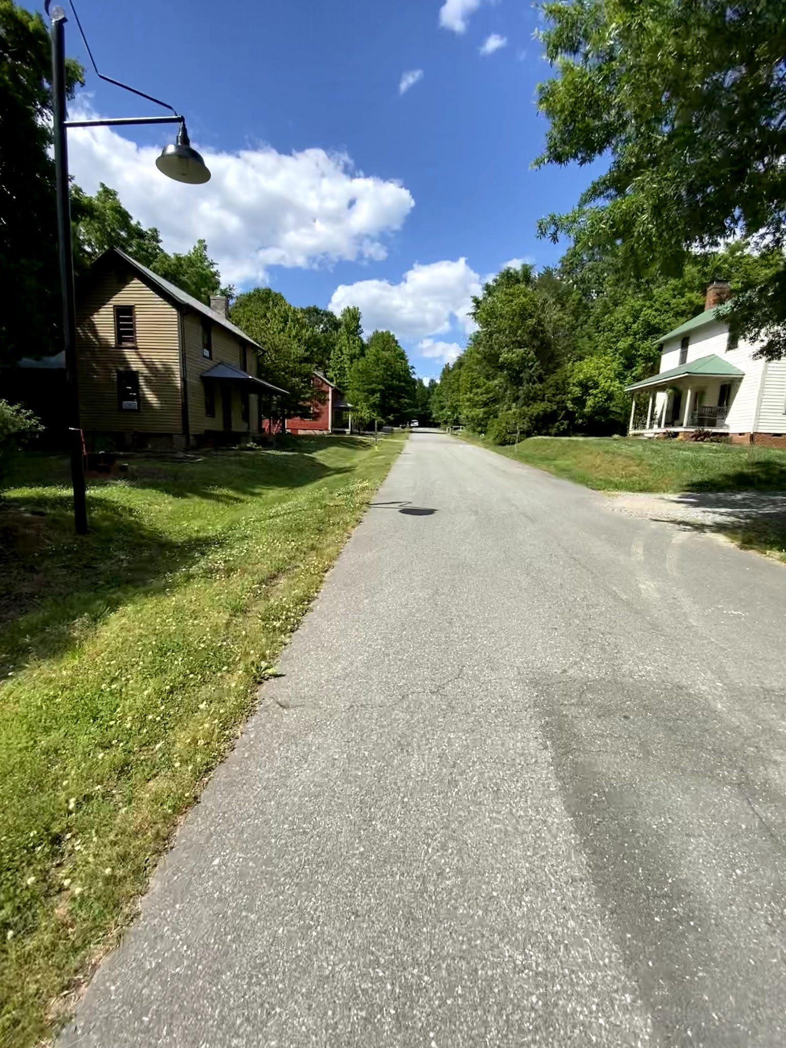
It was 3:30 in the afternoon and I had 8 miles of the Haw River Trail to hike so I knew this would be the final leg of today's journey. The trail was great as it moved along the Haw, some parts simply walked alongside the local golf course so you have to keep and eye out for golf balls being hit in your direction. This section also passes through Glencoe, NC. Glencoe is an old Mill area and the houses are still lived in and preserved. They are all very simple dwellings which I'm drawn too in general. It seems like a great neighborhood to call home. For anyone that likes historic districts or preservation you should check this area out.
 |
| Glencoe |
I finished up the trail at Red Slide Park just before the town of Mebane, NC. Tonight we would be staying at a hotel just off I-40 in Mebane. There are campsites along the Haw River Trail which you can reserve if you are doing a thru-hike or looking to do an overnighter. They aren't great sites but a flat spot is all you need and having this option is a luxury not found on many sections of the MST.
Day 41 May 16
Miles: 27.3 (21.8 bike, 5.5 hike)
Weather: Cloudy highs in the 70's some very light and brief rain in the morning.
Camping: Back home
 |
| Along I-40 |
Yesterday was beautiful and today feels great as well. Clouds have moved in and I had a few sprinkles of rain this morning as I started my bike ride from Red Slide Park, but nothing to complain about. After leaving Red Slide park the route takes you over to Mebane and up through downtown. Taking some back roads passed some developing areas leads you over to Hillsborough, NC. It's here where the route takes you back on to greenway. The greenway has serval turns and I found I had to consult the hiking project app multiple times to make sure I was going in the correct direction. Although they have MST markers they are not right at the turns or necessarily visible from the junction. As you reach the end of the greenway system you pass a community garden and then come to a section where bikes are not longer allowed. Anyone out there riding should know to get off in downtown Hillsborough and start walking. They do have a bike rack where you can lock up your bike and walk though.


This short segment where bikes are not allowed leads over to the Occoneechee Speedway trailhead parking area. Bikes are also not allowed on the segment heading East of here, however, the paved path is done and you are back to wide natural surface before heading back onto single track just past the speedway. The speedway is a cool side trip and it's pretty amazing how much it has grown up over the years since they stopped using the track. Really smart of folks to preserve the area and make the old track part of the trail system. The rest of the hike along the river after the speedway was really nice with mountain laurels in full bloom. After reaching US 70 at a bridge you head up the embankment to join it for the final section to Eno River State Park access.
There is no trailhead at this junction of the MST and US 70 so I decided not to have the family meet me to bike this road portion. I knew this was a much busier road than most that I had ridden along and it also in sections had a pretty small shoulder so I was happy to be walking facing traffic. At last I survived the 4+ mile road walk and made it to Eno.
At this point I have now picked up all the segments I missed along the way in my hike. My plan as it stands is to start at Stones Creek Entrance along US 17 near Sneads Ferry and make a push all the way to Jockey's Ridge to complete the trail. That will happen at the end of May and first week of June.
Weekend Miles 59.9
Total MST miles completed: 937.3


Comments
Post a Comment