I was planning to make my way from the river section of Pilot Mountain to Greensboro, NC this weekend. I was even going to get an extra day to hike/bike. Instead, once again, we had an ever changing forecast making it hard to plan and execute anything. The Appalachians have been serving as a barrier to the frigid weather west of NC. Unfortunately, there is a back door for that cold air to seep in from Virginia and its being held wide open. While the majority of NC is seeing days of cold rain, the Northern counties where I just happen to be hiking now are stuck with ice. The only place I have to camp in the next 33 miles is Hanging Rock State Park. I would have planned to camp there on Friday night and Saturday night, shuttling to hike. They have been closed (until further notice) the past two days due to hazard trees from the ice storm. Pilot Mountain did close down several areas, some due to flooding others due to the ice and power outages. Thankfully, I knew I would have one window of opportunity on Sunday to get out on something, and the areas I needed were all open.
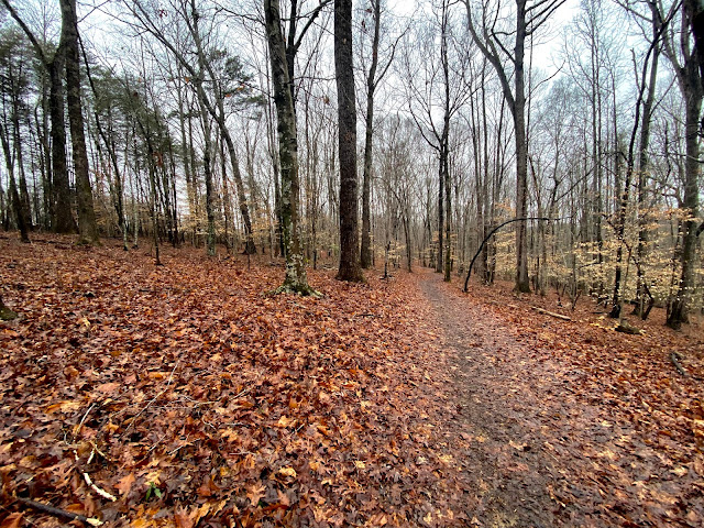 |
| Corridor Trail |
Day 24 February 14
Miles: 11.5 on the MST hiking. Total daily miles 19.5 hiking
Weather: Mid to upper 30's with highs in the low to mid 40's. Rain in the afternoon
Camping: No camping, back home
I felt today was a pretty uneventful day from a hiking stand point. The logistics around this hike are not ideal but it allows me to at least make up the day that got snowed out at the end of January. I was on my own today and started with a 2 hour drive to the trailhead. I was planning to do what I called the Pilot Mountain lollipop. I would hike up the corridor trail, which is located in a narrow corridor of state land (thus the name) connecting the river section to the mountain section of the park. After reaching the mountain section the MST follows the Mountain Trail to the Grindstone Trail over to the visitor center. Around the visitor center you can take the Grassy Ridge Trail or the Mountain Trail to connect back up with the corridor trail. I chose the Mountain Trail route to complete my loop around Pilot.
 |
| Guide said rock hop more like long jump this year. |

As I reached an elevation of 1500' it started raining ice from the trees. It was like an ice cube storm, luckily none large enough to worry about. There were several trees that you could tell had fallen recently due to the ice pile around the crown of the tree. As I moved along to the northern slopes of the mountain the trail became a slushy mud pit. Standing water soaked my feet once again. The photos I have don't really do justice to the trees covered in ice. You can see the direction of the wind during the storm as only one side of the trees were frozen over. You could also see the water flowing down the bark underneath the outer layer of ice. The ground itself was not frozen which allowed me to move at a good pace throughout the day. I ended up making it back to the car just before 3 o'clock. Although I hiked a lot to complete a relatively small section of the trail my hope is this will make it possible for me to push all the way to Hanging Rock State Park in one day of hiking next time I get out.
 |
| Trail to more ice |
Total Miles MST completed: 429.7


Comments
Post a Comment